Sussex Coast Walk - Stage Six - H For Sea Plane
I know, I know.
You are quite right, it is a weird title for this blog post, but I promise, it will become clearer if you read on!
So, we started this stage at Seaford Station. I noticed a sign on the wall outside pointing out that British West Indian soldiers had been stationed in the area during the First World war. A nice thing to remember, especially at a time when Black Lives matter is very much in the headlines.
We got down on the sea-front and started walking into a strong wind. The forecast had said sunny spells but no mention about a gale. After a mile or so we passed a number of wind-surfers and they looked like they had picked an excellent day for it.
The path then moved away from the road and into Tide Mills Park. An interesting place buried away in the shingle banks behind the beach, we walked past the remains of old buildings that had been abandoned in 1939. This place was built in the 18th century as a mill, but rather unusually, one that was powered by the tide.
I was also pleased to see some old railway lines on the footpath at this point. Whilst it does not seem totally clear what they were used for, research has suggested that they are from the Newhaven East Quay railway branch, also known as the beach tramway. rather strangely, it would appear that its main use was to transport shingle from the beach.
A little further along the beach that seemed to keep giving, we came across an old, rather derelict, concreted area. Deciding to stop and have a look. I noticed a large H painted in the middle. An old helipad, I assumed with confidence. However, I then spotted an information board explaining that this had once been the home to an experimental seaplane service during the First World War. Operating from August 1918 until the end of the war, the seaplanes carried out regular anti-submarine patrols in the English Channel.
We took a turn inland, walking through docks and industrial buildings and into the centre of Newhaven. The only memorable thing to mention from this part of the journey was when we somehow nearly managed to get trapped when the gates on the railway crossing came down. I hope someone gets a good laugh from watching us on CCTV!
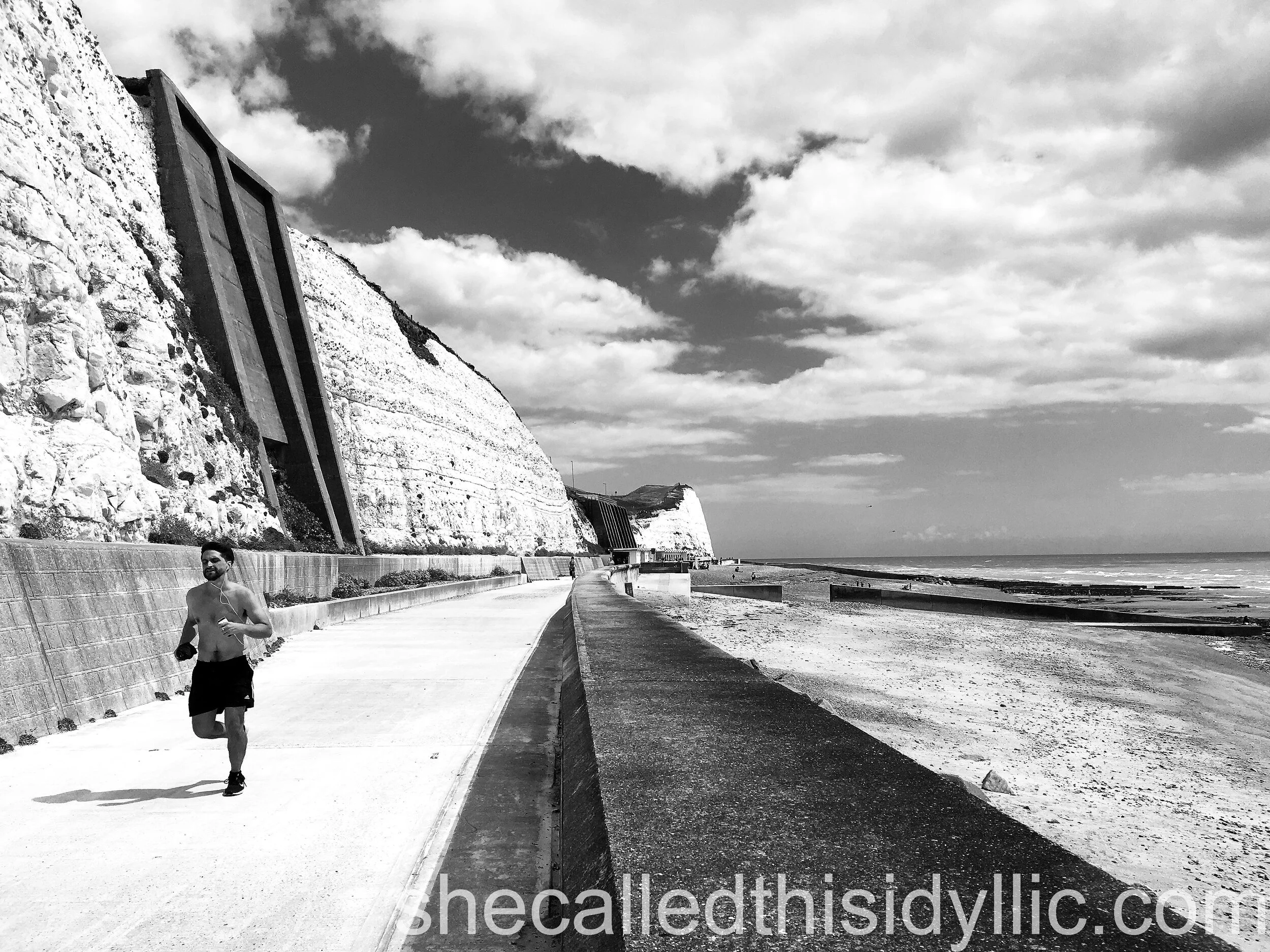
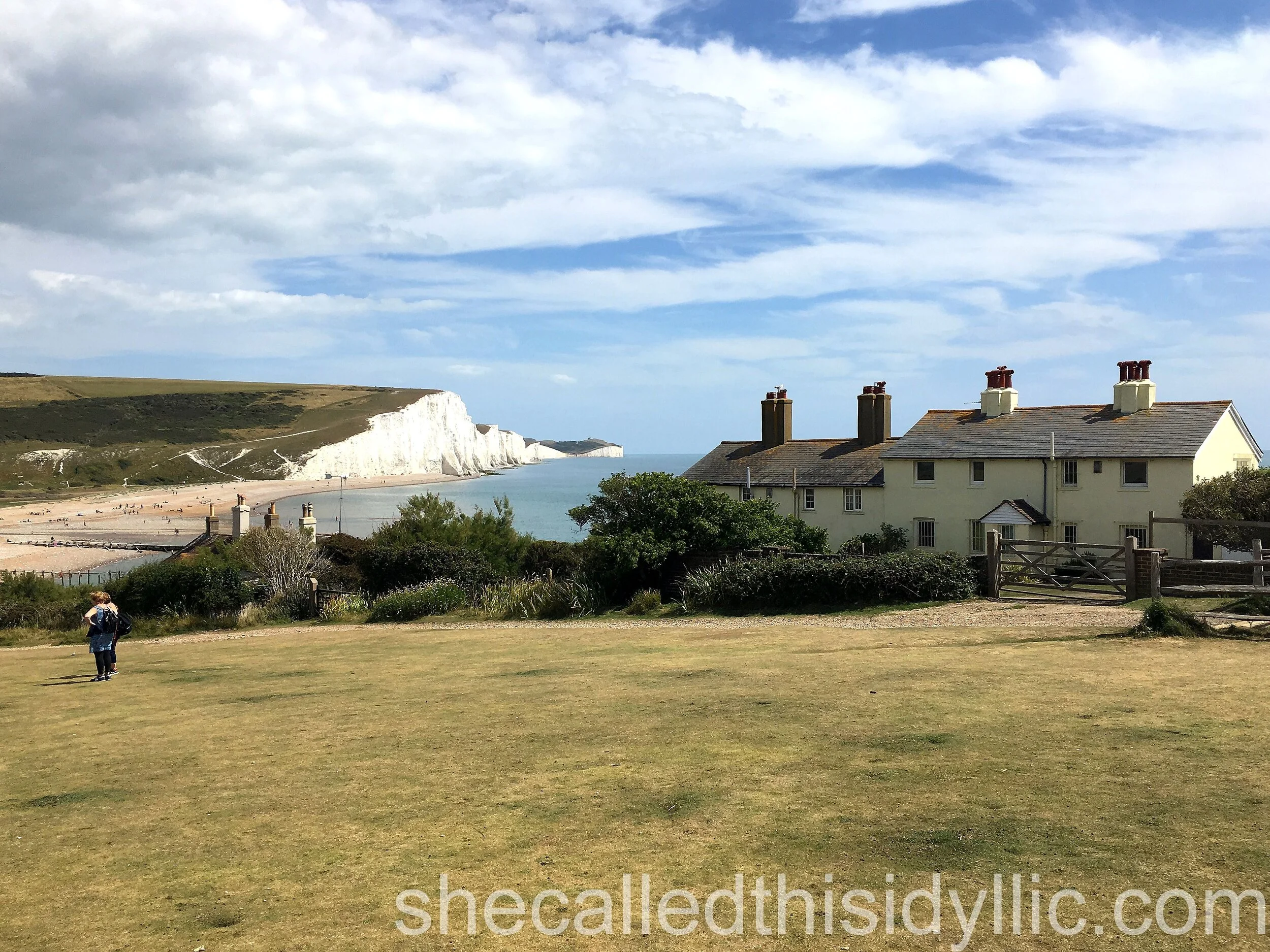
Moving out of Newhaven, the path took us up onto the cliffs just behind Newhaven Fort. Whilst nowhere near as spectacular as those we walked on the previous stage, the cliffs through to Peacehaven, Telscombe Cliffs and Saltdean were high enough for some excellent views. This part of the stage was accompanied by a lot of cliff top housing and caravans, with evidence of more being built quite close to the edge. Not something we would be comfortable living or staying in.
Along the cliff top walk we noticed a monument and a line in the ground, celebrating the meridian line. Dating back to the 1930’s, it has apparently had to be moved three times due to the gradually eroding cliffs.
As in previous posts, I managed to find a nice entertainment link for this town on top of the cliffs. A scene from the 1979 film Quadrophenia, where the major character played by Phil Daniels take his scooter to the cliffs outside Brighton, was filmed here.
We continued up and over a few more hills before starting the steep decline down into Saltdean. Known primarily for the grade 2 listed and art-deco inspired lido, and for the similarly designed Ocean Hotel , we took the opportunity to walk down to the beach and take a break at the cafe.
It was here that we decided to take the Undercliff Walk into Brighton for the final stage. Built as part of the sea defenses, to control the continual erosion of the cliffs, it follows the cliff line at beach level right into Brighton Marina, a good 2 or 3 mile walk.
Knowing this area quite well, I was keen to try to see the remains of the old Brighton and Rottingdean Seashore Electric railway, which i had been told used to run here. It existed between 1896 and 1901 and , rather uniquely, ran through the shallow coastal waters. We were lucky enough to see a few, old looking sleepers which we think are the only remains.
The walk continued past Brighton Marina and out onto the main sea front, running alongside the successful and very well know Volks electric railway, that replaced the failed original.
With this final stretch being very familiar to us we didn’t spend long admiring the sights, stopping just the once for a photograph of Steve Ovett’s statue. Our walk ended at Brighton’s famous Palace pier, quite glorious in the afternoon sunshine on our visit. Although, to be completely accurate, it actually ended at one of the many beach bars, enjoying a well earned drink and some rather tasty chilli squid, before the drive home.
Stage 6 – Seaford Station to Brighton Palace Pier
Date of walk - 28th July 2020
Distance walked 13.52 miles / 21.76 km
Floors climbed (using Apple Health app.) 36 floors
Ongoing totals 60.75 miles / 97.75 km / 282 floors


